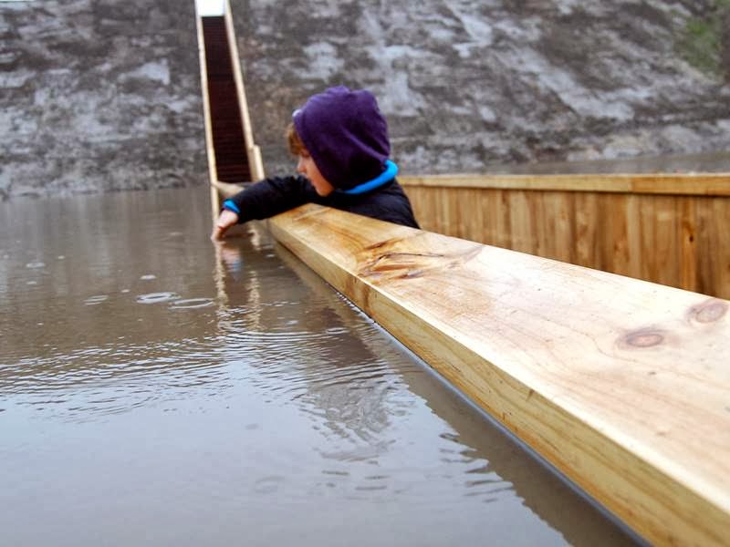
The Moses Bridge is located in Netherlands, were built over the West Brabant Water Line during the 17th century Dutch defensive line that was created by linking cities and villages with earthen fortresses and walls. An inundation zone to the north provided an area that could be flooded with water deep enough to make enemy advance on foot precarious but shallow enough to rule out the effective use of boats. The line once successfully held Spain and France invaders at bay. Fort de Roovere, the largest fort on the line requited the addition of an access bridge. The fort is surrounded by a moat and was originally built without a bridge so it was a challenge to create one that would be discreet. This bridge was build by two Architects AD KIL and RO KOSTER, and 'sunken' bridge what follows the line of the fort slope and sits almost flush with the soil and the level of the water. making it practically invisible as you approach the fort. TheAccoya wood is used for sheet piling on either side, with a hardwood deck/stairs in between.
 |
| The Moses Bridge or Loopgrafburg (Trench Bridge) |


 |
| Fort de Roovere in 1751 — Image by Wikipedia.org |
Source —Internet

No comments:
Post a Comment